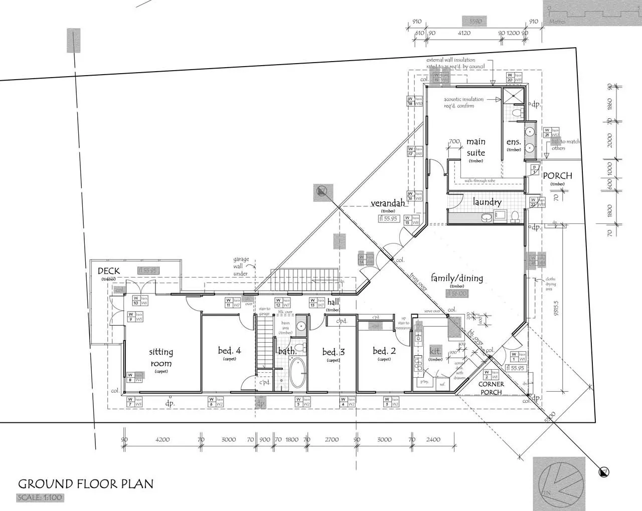
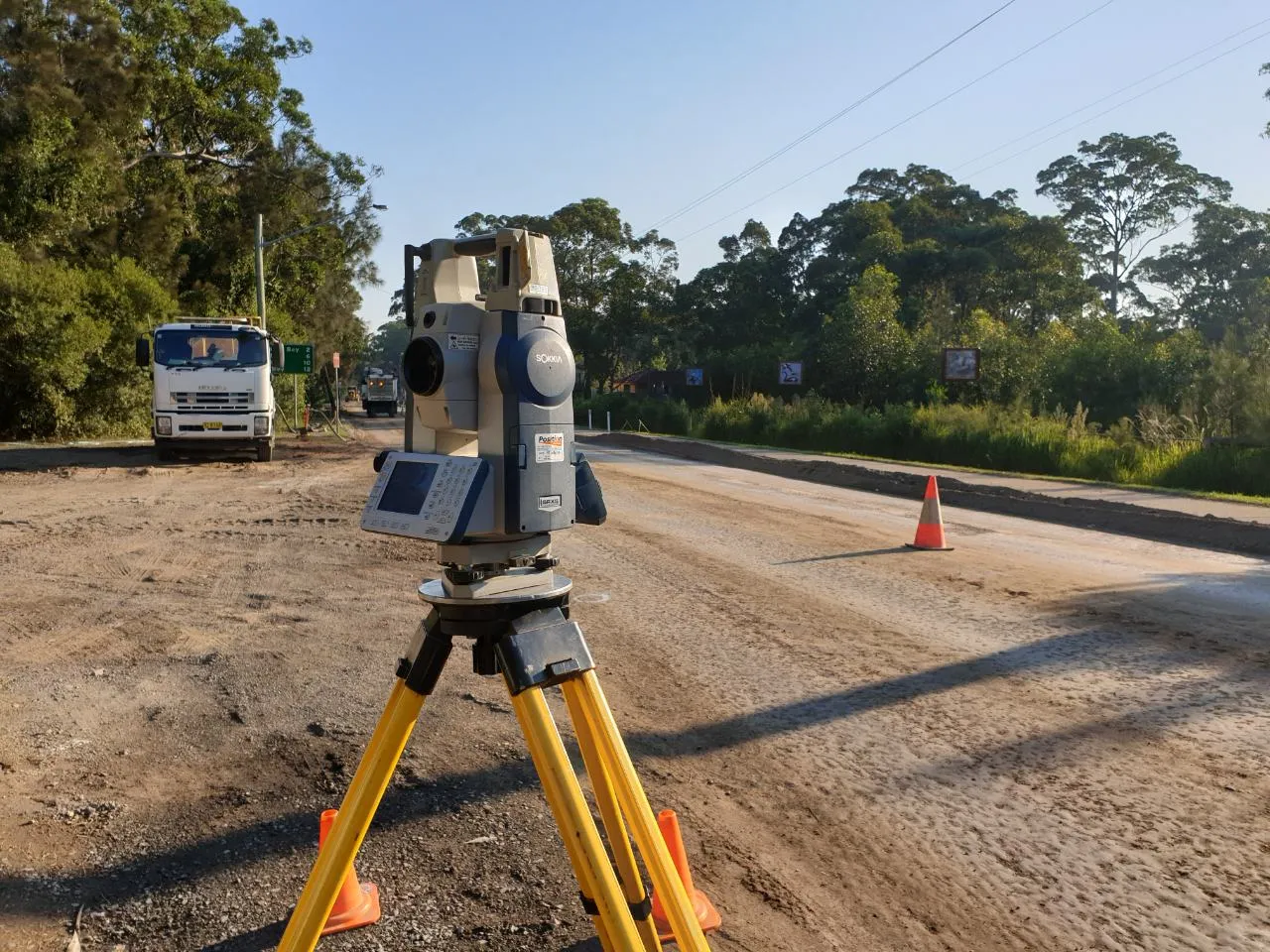
At MCS Surveyors, we are committed to providing high-quality land surveying services for both residential and commercial clients. Our team of experienced professionals use the latest technology and techniques to deliver accurate and reliable survey results. Whether you need support for a construction project or need assistance with building design, we have the expertise to meet your needs.
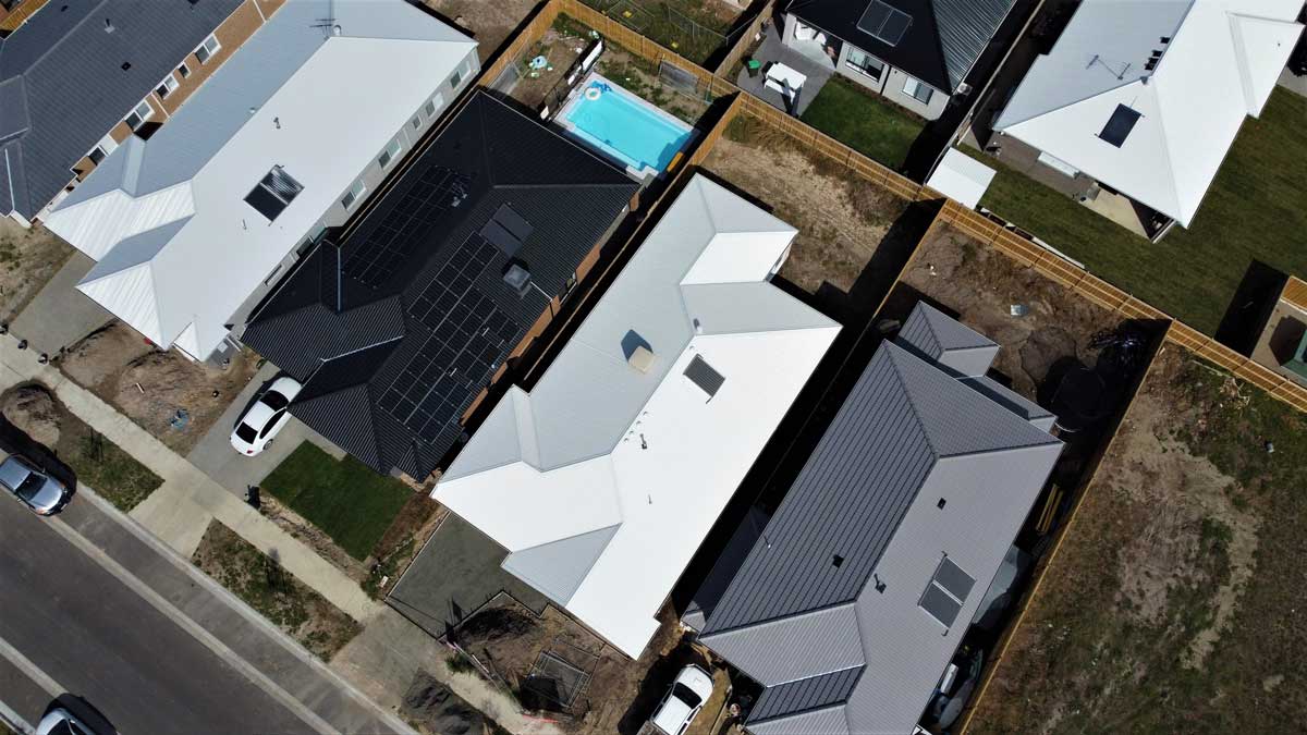
Contact USThe use of drones to conduct topographic surveys is an innovative approach that can provide highly accurate measurements at a fraction of the time and cost. This significantly reduces both workloads for specialists in field work, as well as costs associated with traditional methods like satellite imagery or ground-based GPS equipment.

Drones are often used in surveying because they’re a more efficient and less expensive option than using traditional methods. For example, drones can be used to map out land quickly and easily, which is helpful when you need to gather data for planning or zoning purposes. They can also be used to survey large areas that would be difficult or dangerous to reach by foot or car. Additionally, drones can capture photographs and video footage that can be used for mapping or analysing land formations.
A drone survey is accurate to the extent that it provides an accurate representation of the surveyed area. This can be determined by assessing how well data from a drone survey matches with existing maps and other datasets. In order for a survey to be considered accurate, there must also exist sufficient detail in both coverage and measurements taken by the drone.